PLINIVS Study Centre
Methods, models and tools for emergency planning and management
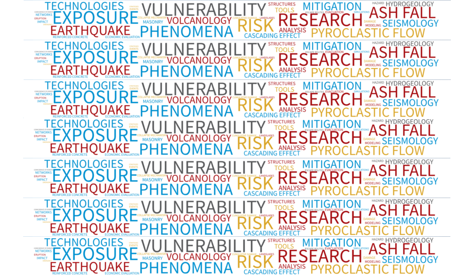
PLINIVS Study Centre (Study Centre for Hydrogeological, Volcanic and Seismic Engineering) is a structure of LUPT Research Interdepartmental Centre, University of Naples Federico II. Since 2006, PLINIVS is a National Competence Centre on Volcanic Risk for the Italian Civil Protection.
PLINIVS activity in the last 30 years included the development several probabilistic simulation models to assess the impacts of natural hazards, taking into account the impact distribution in time and space and the cumulative effects given by possible cascading events, as wall as a continuous data collection activity on built environment and population, at national and regional scale, that allowed building up a comprehensive GIS database, that includes population data, classification of different building typologies (detailed at the level of technical elements: structure, wall, roof, opening, etc.), features of transport networks. The database includes vulnerability classes of each element at risk (population, building components, transport network nodes) with respect to seismic, volcanic and hydrogeological risk.
The database is integrated into hazard/impact models, allowing to derive the expected impact of a given seismic, volcanic and flood/landslide event on the territory with a detail of a 500x500m mesh at national level and 250x250m at regional level.
These experiences place the PLINIVS Study Centre among the most representative research structures in the field of seismic, volcanic and hydrogeological risk modelling and assessment.
The main models and tools developed in the last 25 years can be summarised as follows:
- Seismic Impact Simulation – Seismic impact model, developed and refined during 25 years of research and technical services, also as Center of Competence of Italian Department for Civil Protection (DPC). The model allows a real time estimation of expected impact of earthquakes on the entire Italian territory. During real seismic crises, the intensity and location of the event is the input provided by the INGV and the output are the “impact maps” used by the DPC to manage the early phases of the emergency and coordinate Search&Rescue activities.
- Volcanic Impact Simulation – Volcanic impact model (for explosive eruptive events), developed in the last 15 years, to quantify the potential losses consequent to a possible eruption of Vesuvius or Campi Flegrei. The model allows the simulation of the cumulative damage on exposed elements following the different hazardous phenomena occurring over time: earthquake (EQ), ash fall (AF), pyroclastic flow (PF), and lahars (LH). The dynamic simulation methodology is based on the updating of vulnerability curves following a given time history of the eruption, simulating e.g. the progressive degradation of buildings and infrastructure, the reduced population in the area following evacuation operation. The model includes a specific approach for the treatment of uncertainties.
- Landslide Impact Simulation – Developed within SAFELAND Project – Living with landslide risk in Europe (EU FP7, 2009-2012) to assess the behaviour of buildings under dynamic load due to rapid landslide (as debris flow). Vulnerability classes for prominent structural and non-structural elements of the building are defined, and the limit load for each of these is computed by limit state analysis related with experimental tests.
- Economic impact of natural hazards – Developed within SPEED Project – Scenarios of Hazard and Damage at Vesuvius and Campi Flegrei (research agreement between PLINIVS-LUPT and Italian Department of Civil Protection, 2007- 2009) to estimate, in probabilistic terms, the direct and the indirect economic impact of a Sub-Plinian I or Strombolian type eruption of Vesuvius. The model has been implemented through a computer based simulation model. Along the expected time history of the eruptive event all the possible “direct costs” and the “factors” (indirect costs) impacting the economic growth in the event area have been identified. Each cost factor is built up through a specific algorithm that is fed by various providers, in order to run a software that will estimate the global amount of economic damage from a volcanic event. An updated version of the model has been recently released (EU-FP7 CRISMA Project) to include the cost-benefit evaluation of mitigation measures on building components (seismic strengthening of structures, strengthening of roofs against ash fall, protection of openings). EU-FP7 SNOWBALL is testing the application of the model in the context of cascading effects.
MAIN RESEARCH AND CONSULTANCY ACTIVITIES
Exposure and Vulnerability Analysis
- Impact assessment
- Emergency Planning
- Emergency Management
- Cost-Benefit and Multi-Criteria analyses
- Decision Support Systems and Tools
DOWNLOAD PLINIVS STUDY CENTRE ACTIVITIES PRESENTATIONS:
VOLCANIC RISK
Main projects:
2014-2017_SNOWBALL
2007-2015_SPeeD
2002-2005_EXPLORIS
1998-2000_VESUVIUS
ENVIRONMENTAL RISK AND CLIMATE CHANGE
Main projects:
2017_2020 CLARITY
2016-2018 ESPRESSO
2016-2019_REACHING OUT
2014-2017_SNOWBALL
MAIN TASK AND FUNCTIONS:
- Research in the field of vulnerability, risk and impact assessment on elements exposed to different hazards, such as earthquakes, volcanic eruptions, hydrogeological events, etc., as well as in the field of mitigation of effects on humans and built environment.
- Collection of data relating to building structures in areas exposed to volcanic phenomena (earthquakes, pyroclastic flows, ash fall, lahars, tsunamis, etc.) and development of impact assessment methodologies and tools.
- Development of damage mitigation techniques for population and building structures against seismic, volcanic and hydrogeological events.
- Economic impact assessments of seismic, volcanic and hydrogeological events.